English
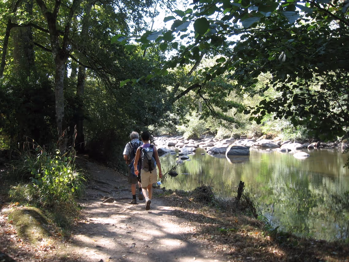
The Public Territorial Basin Authority of the Sèvre Nantaise oversees the promotion and management of a 400-kilometer hiking trail. To ensure its proper maintenance and gain insights into how hikers use the trail, it was crucial to quantify visitor traffic at various points along the route.
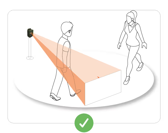
With Kiomda's counting device, accurate data collection helps identify the most frequented areas, enabling better infrastructure maintenance planning and the evaluation of development opportunities.
"We need to understand how frequently the different facilities along the trail are used—not only for maintenance but also to assess whether some key locations could serve as educational sites about the surrounding natural environment."
The counting data is presented to local officials in activity reports and water management reviews. These statistics play a key role in decision-making regarding trail development and preservation.
"The figures are integrated into our activity reports and water management assessments to meet the needs of our elected representatives."
These analyses provide the local authority with concrete indicators to justify maintenance decisions and anticipate future infrastructure needs.
By monitoring visitor flow, the counter helps better plan infrastructure maintenance and assess opportunities for educational enhancement. Some frequented areas could be converted into environmental information points for hikers.
Enhancing counter placement tracking has been identified as a priority for improving flow analysis. A request has been made to enable precise counter localization on a map, along with site installation photos.
"It would be helpful to pinpoint the exact locations of the counters on a map and have photos of the installations."
Regarding project expansion, a request for additional counters was initiated in November 2023 but was temporarily put on hold. The initiative is expected to resume internally to further develop the counting system.

Understand the technical challenges and optimization levers for your own flows