Book icon

Context

The Vézère à Vélo Greenway connects Les Eyzies, Le Bugue, Limeuil, and Saint-Chamassy over a 23 km route, offering an ideal cycling and walking path through the historic and natural landscapes of the Périgord Noir. The broader VéloRoute Voie Verte project aims to expand this north-south connection over 60 km, linking the valley to major national routes

Arrow icon

The Kiomda service

Kiomda provided and maintains four counting devices at key locations (Le Bugue, Les Eyzies, and Limeuil) along with a mobile unit for temporary monitoring. The anti-vandalism-protected devices collect bidirectional pedestrian and cyclist traffic data, updated twice daily on the Reports Kiomda platform.

A Strategic Tool for Sustainable Mobility Planning

Understanding user behavior is key to optimizing infrastructure and policymaking.

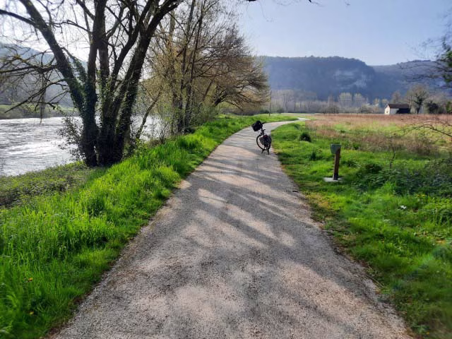
"We created a greenway that is still under development. The goal is to integrate it with the national Flow Vélo route, which is currently in the early planning stages."

Officials use the data to distinguish commuter cyclists from tourists and assess traffic variations by season.

"We analyze statistics to inform our investment strategies. For example, we track whether people use the route for commuting, not just for leisure."

Tracking Trends and Supporting Regional Tourism

Initial findings indicate that usage peaks in warm weather, with a strong tourist component.

"We see that it works well. It’s not just for tourists, but for now, that’s where the main use lies."
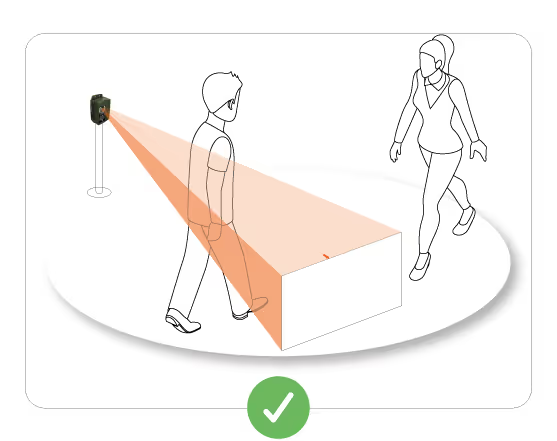
Other testimonies

Cœur de Lozère

Cœur de Lozère

Natural Park and Leisure
Lac de Mande is a drinking water reservoir and a tourist site. The ARS, the State and the Community of Municipalities are interested in the evolution of attendance. It is also an area with quite a few possible accesses, so the mobile box is interesting for us.
Public Territorial Basin Authority of the Sèvre Nantaise

Public Territorial Basin Authority of the Sèvre Nantaise

Natural Park and Leisure
“We need to know how often the various existing installations along the way are used, for their maintenance and also to know if certain crossing points can be used as educational information sites on the surrounding natural environment.”
Serre-Ponçon

Serre-Ponçon

Natural Park and Leisure
“We needed reliable data to know if access restrictions should be put in place to limit the impact on local wildlife.”